
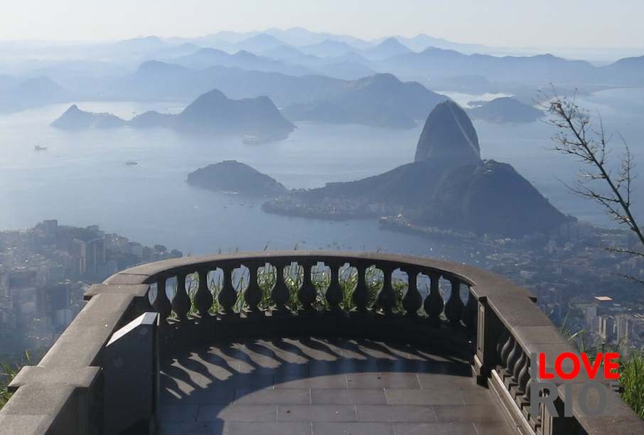
published by veija magazine, this map show 100 beaches along rio de janeiro's coastline, including the main beaches in rio city, paraty, ilha grande, rio das ostras, búzios, cabo frio, and arraial do cabo.
part of the landmark study macrodiagnostico da zona costeira e marinha do brasil(macrodiagnostic of the coastal and marine zones of brazil) published by the ministério do meio ambiente(ministry of the environment), the map on this in (carta 12)jointly with this map on this link (carta 13) show wind directions, tides, and types of waves for rio de janeiro city and state, among other things.