
on the map it is possible to select type or terrain, type of vegetation, sandbanks, and areas with protected status, and selecting the type of information desired will refresh the map accordingly.
provided by the city of rio's prefecture, protected areas, bodies of water, and roads within rio de janeiro municipal borders can be seen on this printable map.
published by the instituto municipal de urbanismo pereira passos, with the prefecture of the city of rio de janeiro, this map shows the maciço da tijuca.
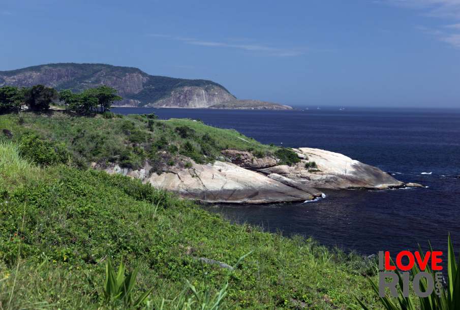
published by the instituto municipal de urbanismo pereira passos, in collaboration with the prefecture of the city of rio de janeiro, this map shows the maciço da pedra branca.