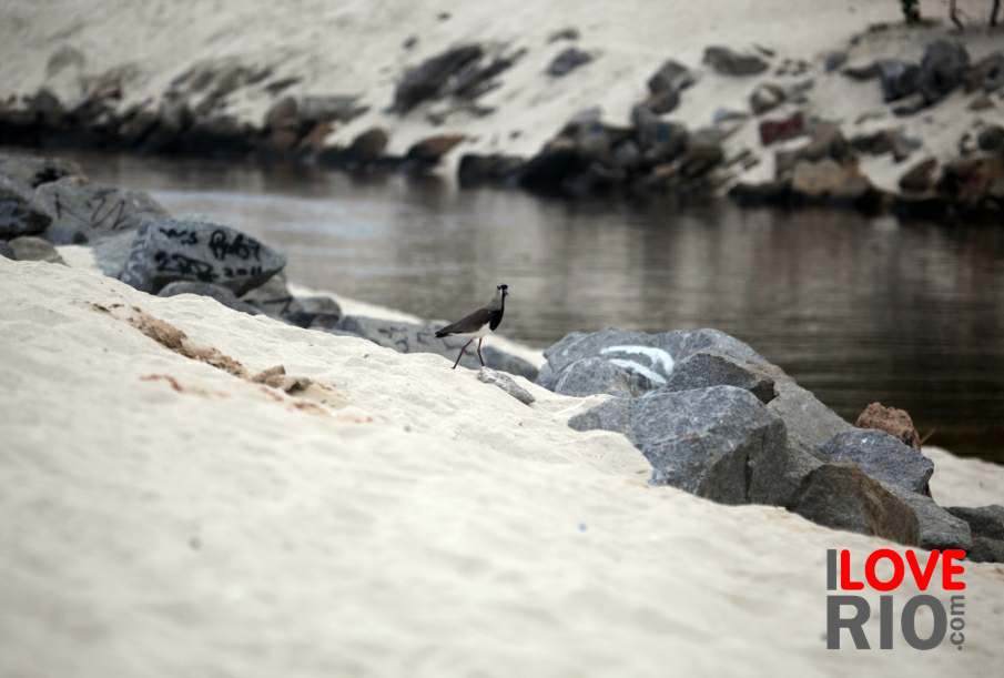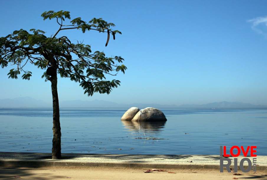

on this page we posted a simplified map of paquetá island showing where the boat from praça xv docks, all the beaches, and main roads. a printable pdf version of the map of paquetá is also available on this page, size of circles indicate the relative importance of the beach. we posted some pictures of a day in paquetá, beaches, homes, and life on the island on this page, including some photographs of boats on praia grossa.