to improve usability, I Love Rio uses cookies
by continuing to browse it you agree
to our privacy policy and our terms of use.

continue              exit

Clear sky reflecting in a very calm sea Picture of I LOVE RIO logo Cagaras island formation behind a breaking wave Secluded tropical beach colorful horizon Leblon Sunset  
at a glance

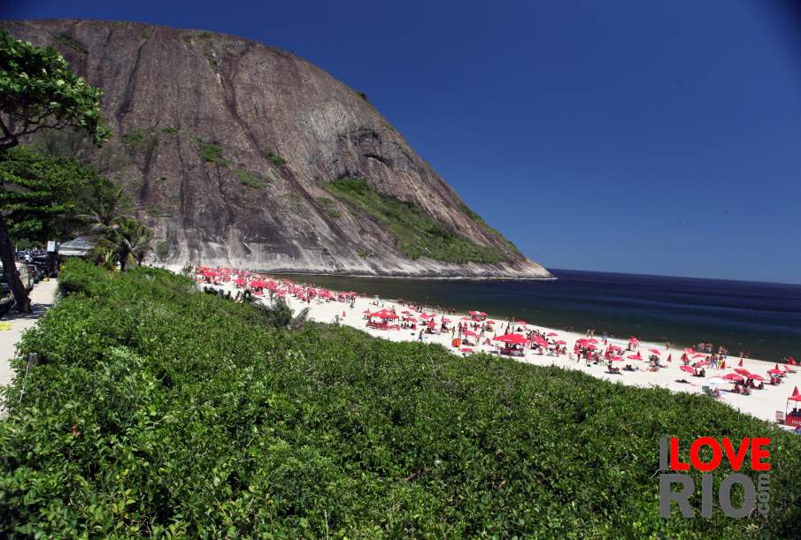
praia de sepetiba can be seen on this satellite map - in the link as we publish it, zoom settings open correctly using chrome, but may not display the exact coordinates using other browsers.

on this link, the instituto estadual do ambiente - inea, provides the suitability of several beaches in the sepetiba bay area, including praia de sepetiba.

constantly updated, a red flag means that swimming is not advisable, a green flag means waters are clean, and a yellow flag suggests using own judgment.  

any of rio's beaches may have polluted waters within 24 to 48 hours following heavy rains.    arrow-back      arrow-forward

praia grande
attractions pedra guaratiba
beaches praia da brisa
sports recôncavo
entertainment praia de sepetiba
music moreninha
nightlife josé bonifácio
restaurants dos tamoios
shopping praia da imbuca
etiquette praia da bica
carnival engenhoca
réveillon de gragoatá
accommodations Red umbrellas on the beach Families contemplating the ocean Tree by the sea boa viagem
transport praia das flexas
safety praia de icaraí
extras back     more
      - home - about - © - terms of use - photos - privacy policy - contact - join - eu amo rio - products -