

in 1914, the ministry of finance transferred the island to the navy, that supervises and controls access to this cultural complex.
the island is accessible by land via a causeway connecting it to the city, at the navy base near praça xv.
ilha fiscal can be seen on this google map, and here on a wikimapia (zoom setting may open correctly only with chrome or firefox).
on this page we listed direct links to a satellite view of guanabara bay islands - for proper zoom setting pages should be opened using chrome, as other browsers might only display general city views.

beaches


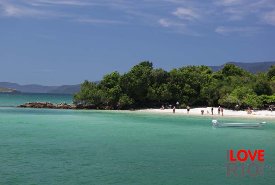
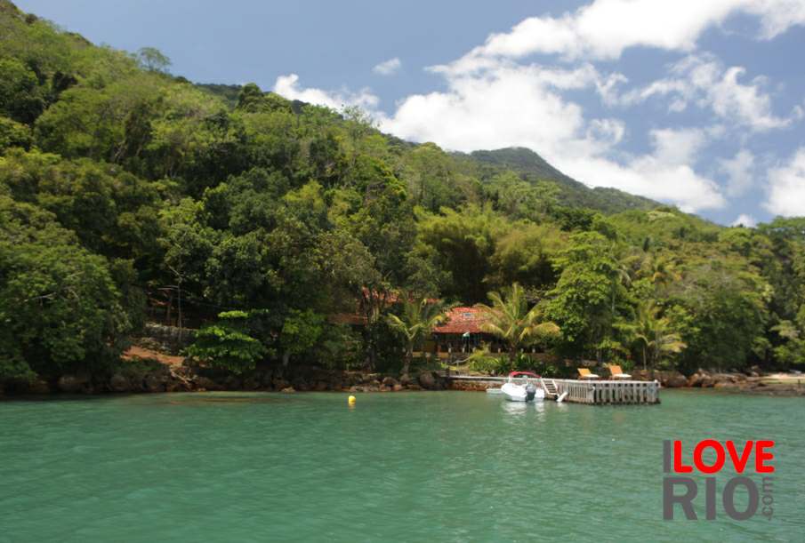
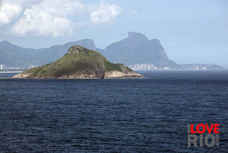
islands
