
at a glance
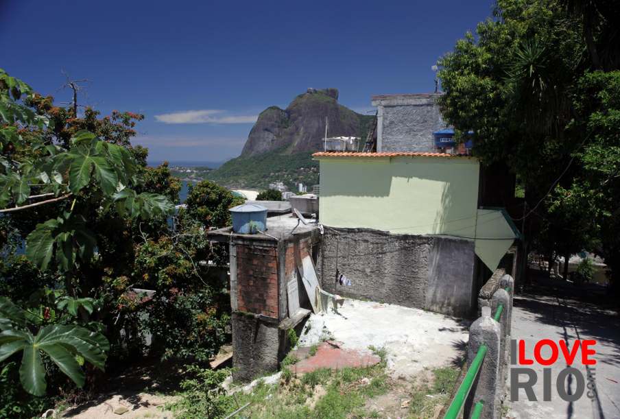
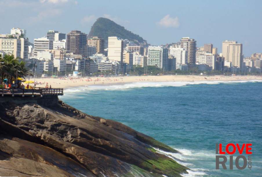
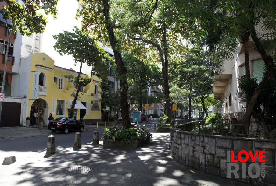
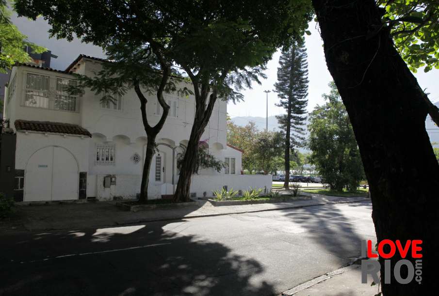
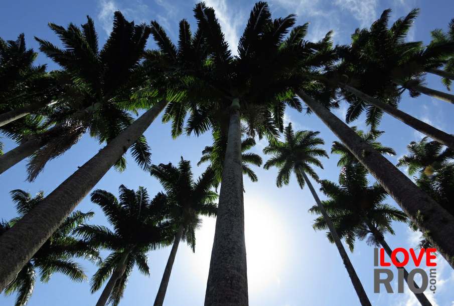
the south zone presents one of the most iconic images of rio to the world, with its line of neighborhoods set between the forest-covered hills, and the beaches of white sand facing the atlantic ocean - the region also features two big and very popular bodies of water, the rodrigo de freitas lagoon and the botafogo bay, as well as some of rio's most renowned hills, such as the sugar loaf and the pedra da gávea, among others.
zona sul, like many parts of the city, was originally a rural area with large farms and plantations - the areas close to rio's centro, such as catete, botafogo and flamengo were among first to be developed.
published by encontra rj, this page opens a simplified map of the zona norte of rio, the northern part of the city - published by the prefeitura da cidade do rio de janeiro and the instituto brasileiro de geografia e estatística - ibge, this is a simplified map of the zona sul of rio, the southern zone.

