to improve usability, I Love Rio uses cookies
by continuing to browse it you agree
to our privacy policy and our terms of use.

continue              exit

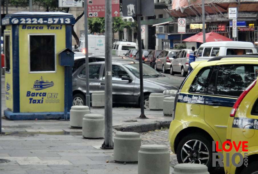
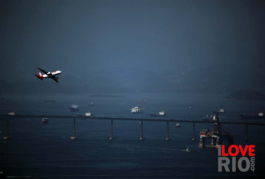
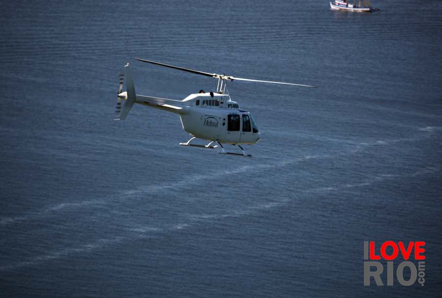
Rio de Janeiro's transportation pictures I Love Rio logo Rio de Janeiro's transportation pictures Rio de Janeiro's transportation pictures Rio de Janeiro's transportation pictures Helicopter flying over the sea.  
at a glance
traditional maps can be found at gas stations and street newstands, but there are also a variety of free, easily downloadable apps that can serve as a virtual map and assist with the routing or directions of one's desired destination - rental car apps are also available.

the state of rio de janeiro is home to the city of rio as well as many other extraordinary cities that have scenic beaches, waterfalls and mountains - many of these places can be reached by renting a car and getting there, here is a selection of some of the nearby destinations one can travel to.

there area many resourceful companies and organizations that exist in the city that can answer questions and concerns, or help with any unplanned occurrences - a list of establishments with operations in the city of rio for vehicle rentals can be found here.  arrow-back      arrow-forward

airplanes
attractions bicycles
beaches boats
sports buses
entertainment helicopters
music car services
nightlife minivans
restaurants moto taxis
shopping private planes
etiquette quadracycles
carnival rental cars
réveillon nearby destinations maps & apps safety & tips resources subway
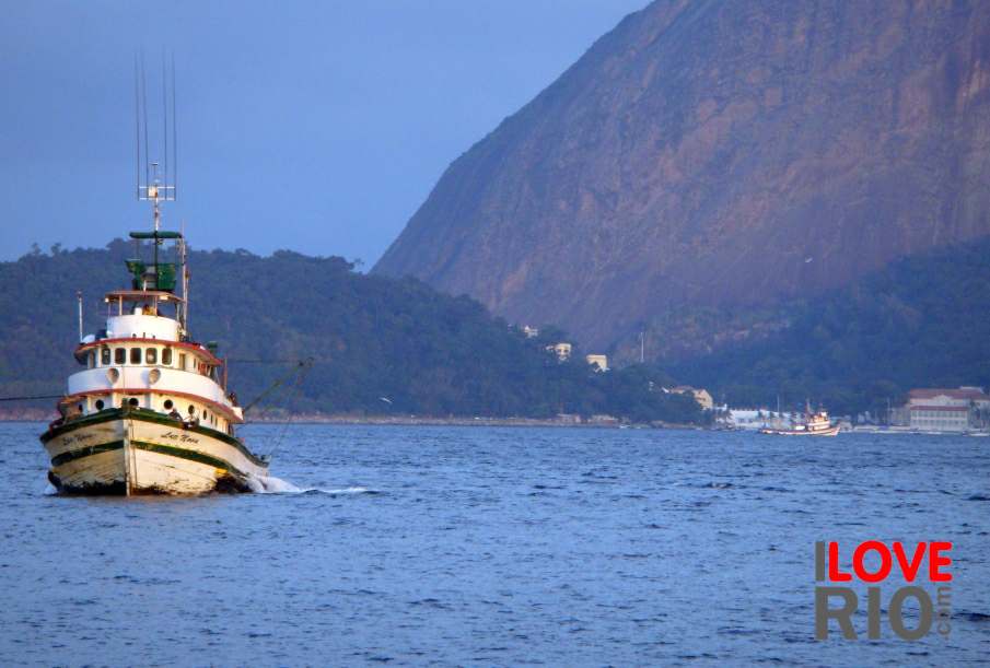
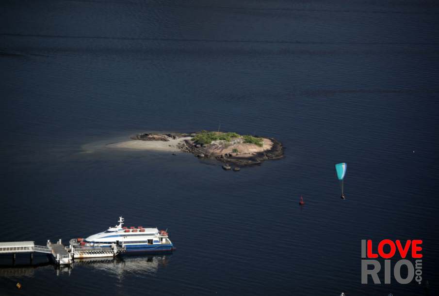
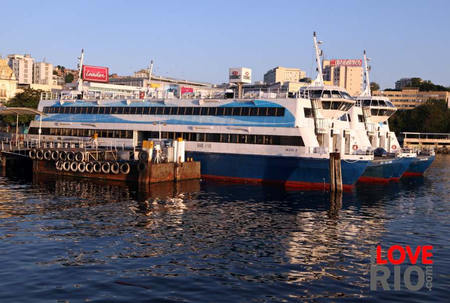
accommodations A boat and the Morro da Urca in the background. View of the island next to the Charitas Station. Ferries at the Araribóia Station, Niterói. taxis
transport trains
safety trams
extras yachts
      - home - about - © - terms of use - photos - privacy policy - contact - join - eu amo rio - products -