
to improve usability, I Love Rio uses cookies
by continuing to browse it you agree
to our privacy policy and our terms of use.

continue              exit

Rio de Janeiro's neighborhoods I Love Rio logo Rio de Janeiro's neighborhoods Rio de Janeiro's neighborhoods Rio de Janeiro's neighborhoods Rio de Janeiro's neighborhoods  

at a glance

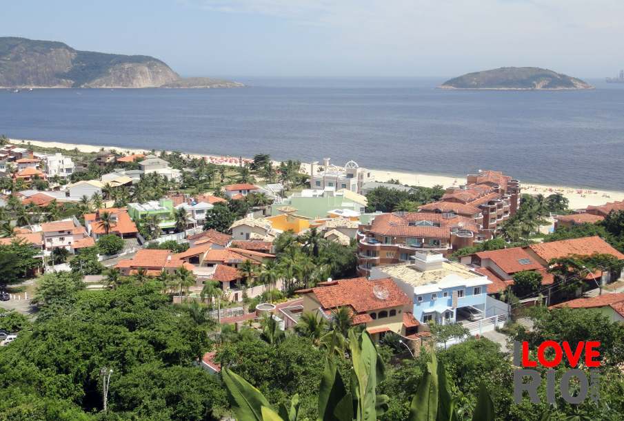
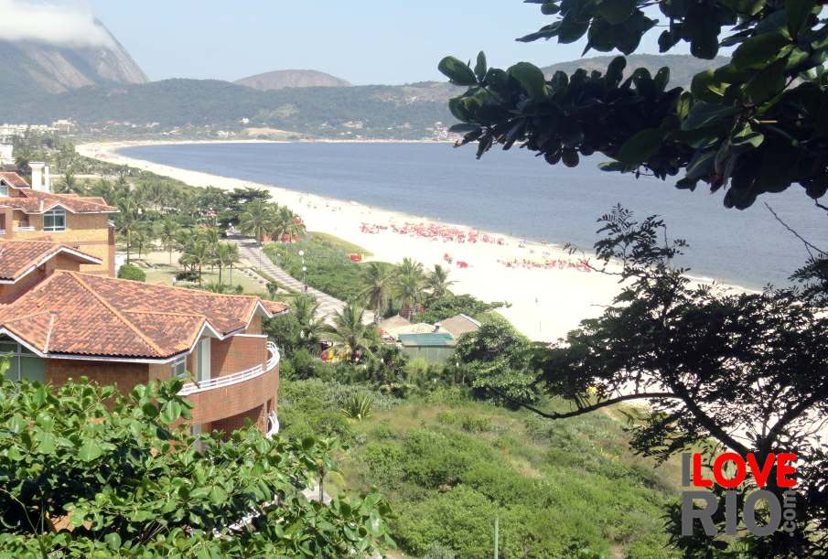
alternatively, going by catamaran is faster and more comfortable than the ferry, travelers can reach the neighborhood of charitas in niterói - closer to parque da cidade - niterói and são francisco beach.

catamarans run every 15 minutes from 7am to 4pm, and their schedule and fares can be seen on this page.

provided by the sate of rio de janeiro, this map shows the state's subdivisions: região da costa verde, região do médio paraíba, região metropolitana, região centro-sul fluminense, região serrana, região das baixadas litorâneas, região noroeste fluminense, and the região norte fluminense.    arrow-back      arrow-forward
arpoador
attractions ipanema
beaches leblon
sports gávea
entertainment jardim botânico
music vidigal
nightlife rocinha
restaurants são conrado
shopping barra da tijuca
etiquette recreio
carnival paquetá
réveillon attractions events dining & lodging getting there ilha do governador
accommodations Rio de Janeiro's neighborhoods Rio de Janeiro's neighborhoods zona norte niterói
transport zona oeste favelas
safety zona central rio maps
extras zona sul back
      - home - about - © - terms of use - photos - privacy policy - contact - join - eu amo rio - products -