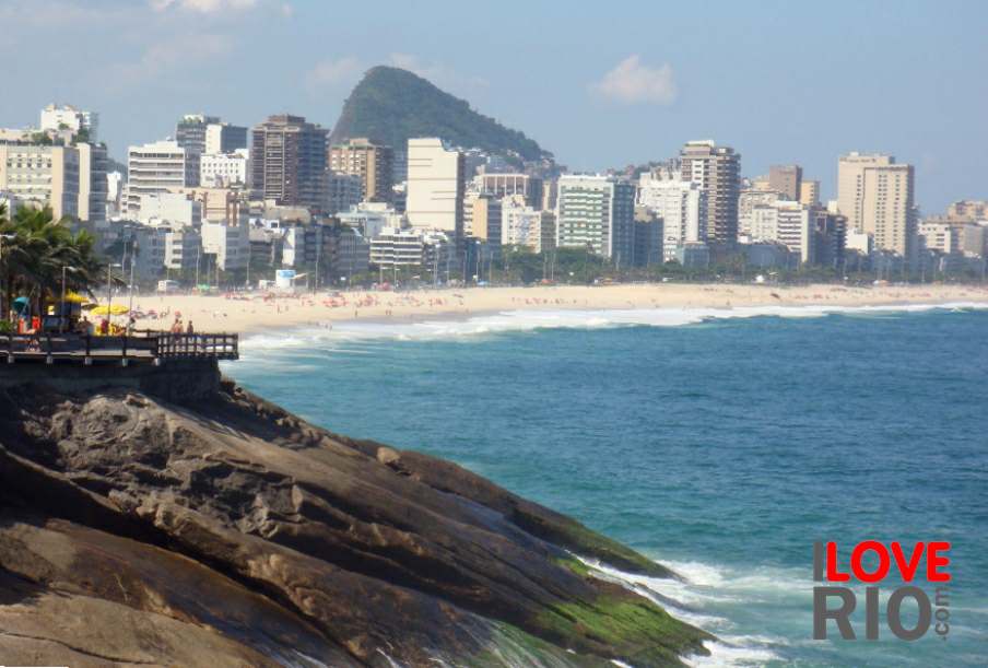

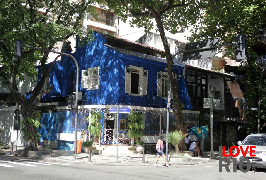
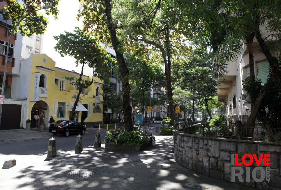
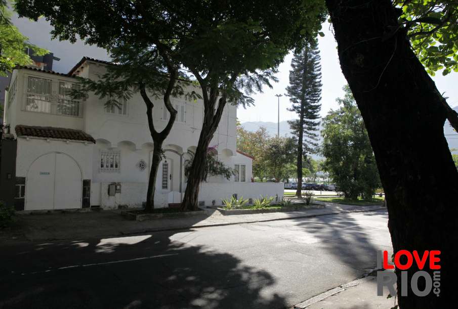
at a glance
this praça was the basis for the initial development of the entire jacarepaguá region, which by the end of the 18th century already housed a large number of residents and urbanization continuously increased over time, within the bairro's limits is the intersection of several old trails - this area was once referred to as the vale do marangá (marangá valley) or the campo de batalha (battlefield). the current praça seca neighborhood is nestled between the northern edge of the tijuca ridge and the valqueire hill, its core remains the historic square, crossed by the cândido benício road - surrounded by trees, it is lively commercial area, with the surrounding buildings filled with stores of all kinds, including restaurants like the sorvetão pizzeria. the region is known for its large enclosed housing estates and condominiums, a few relative large ones are located in the east, such as the aeronautical community residential condominium, and it also holds the cecília meireles public library of jacarepaguá - with the population increase the neighborhood has unfortunately has witnessed a growth in the slum density, which forced the authorities to enforce the law more vehemently in preparation for the olympic games.

zona oeste


