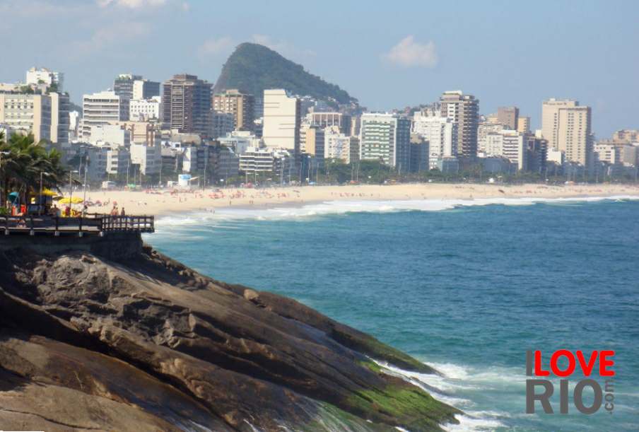

at a glance
The neighborhood of Realengo is located in the zona oeste (west zone) of Rio de Janeiro, and It is surrounded by the neighborhoods of bangu and senador camará to the west, jacarepaguá and taquara to the south, and jardim sulacap, magalhães bastos, vila militar and anchieta to the east. To the north lies the municipality of Nilópolis.
The origin of the neighborhood's name is contested, but it is now widely accepted that the designation comes from the term Campo Realengo, or 'Realengo field' - in colonial times those who did not have their own lands usually took their cattle to graze on public lands, called 'Realengos' in portuguese.
In 1814 a Royal Charter produced by the then prince, Dom João, stipulated that the territory was the property of the state and that it was to be used as cattle pastures for the production of meat for the city of rio de janeiro. Later in the 19th century, when Dom Pedro II, the penultimate ruler of the Brazilian empire, was in power, the area was used by the military.

zona oeste


