to improve usability, I Love Rio uses cookies
by continuing to browse it you agree
to our privacy policy and our terms of use.

continue              exit

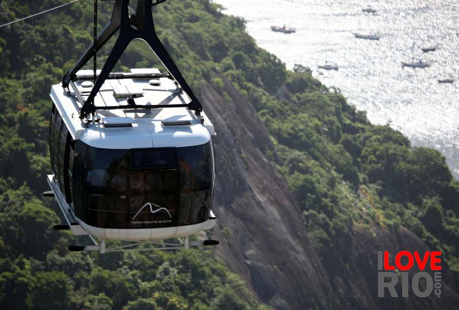
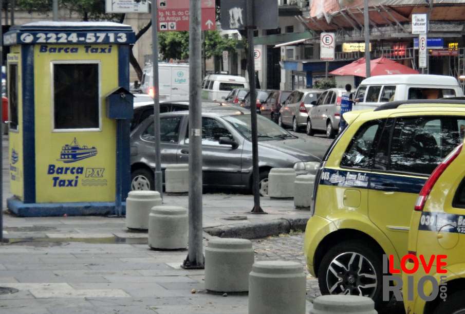
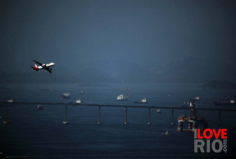
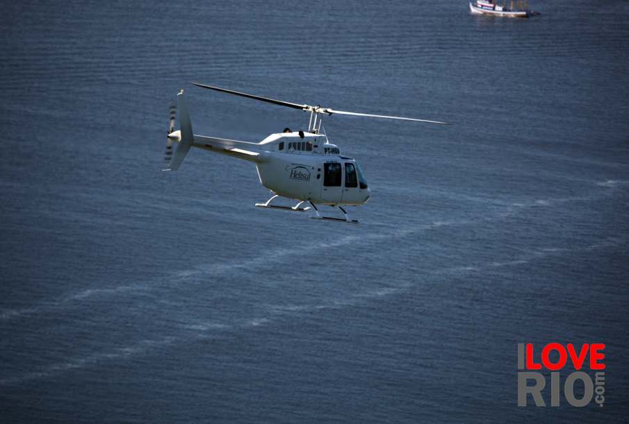
Rio de Janeiro's transportation pictures I Love Rio logo Rio de Janeiro's transportation pictures Rio de Janeiro's transportation pictures Rio de Janeiro's transportation pictures Helicopter flying over the sea.  
at a glance
provided by the sate of rio de janeiro, this is a simple, to use interactive map that details all regions in rio de janeiro state, listing all major towns and displaying roads, highways, and distance between destinations and rio de janeiro's main bus terminal estaçăo rodoviária novo rio.

the map is searchable both by region/area on the map, and by name of city/town, and allows the maps of interest to be printed.   arrow-back      arrow-forward
airplanes
attractions bicycles
beaches boats
sports buses
entertainment helicopters
music chauffeured cars
nightlife minivans
restaurants moto taxis
shopping private planes
etiquette quadracycles
carnival fares interstate buses intermunicipal buses bus terminals rental cars
réveillon special bus lines resources maps & apps tips & safety subway
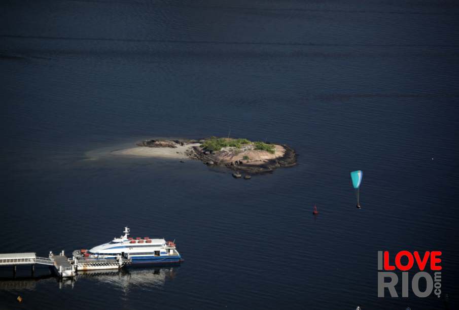
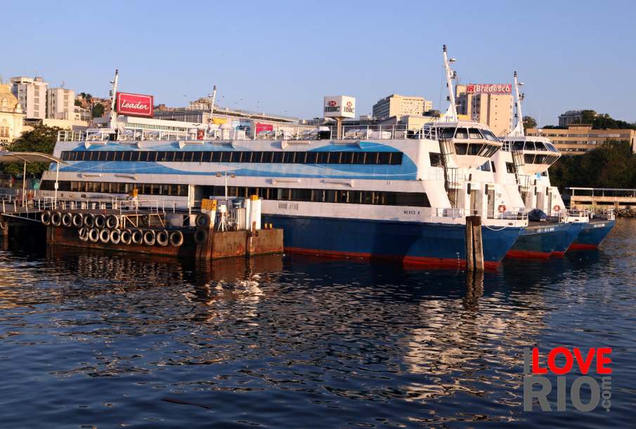
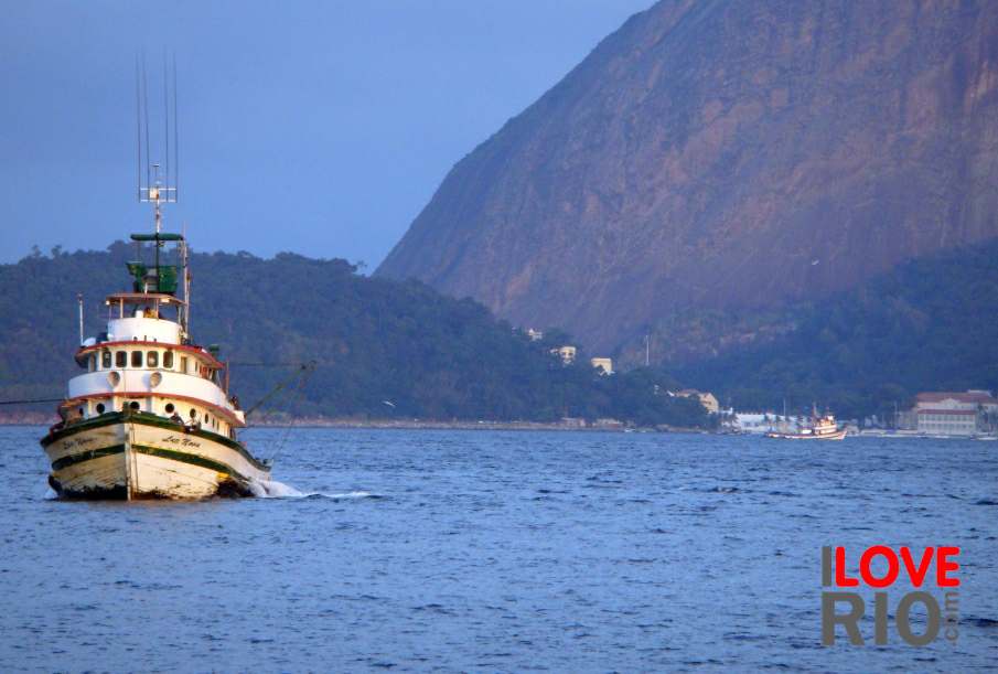
accommodations A boat and the Morro da Urca in the background. View of the island next to the Charitas Station. Ferries at the Araribóia Station, Niterói. taxis
transport trains
safety trams
extras yachts
      - home - about - © - terms of use - photos - privacy policy - contact - join - eu amo rio - products -