to improve usability, I Love Rio uses cookies
by continuing to browse it you agree
to our privacy policy and our terms of use.

continue              exit

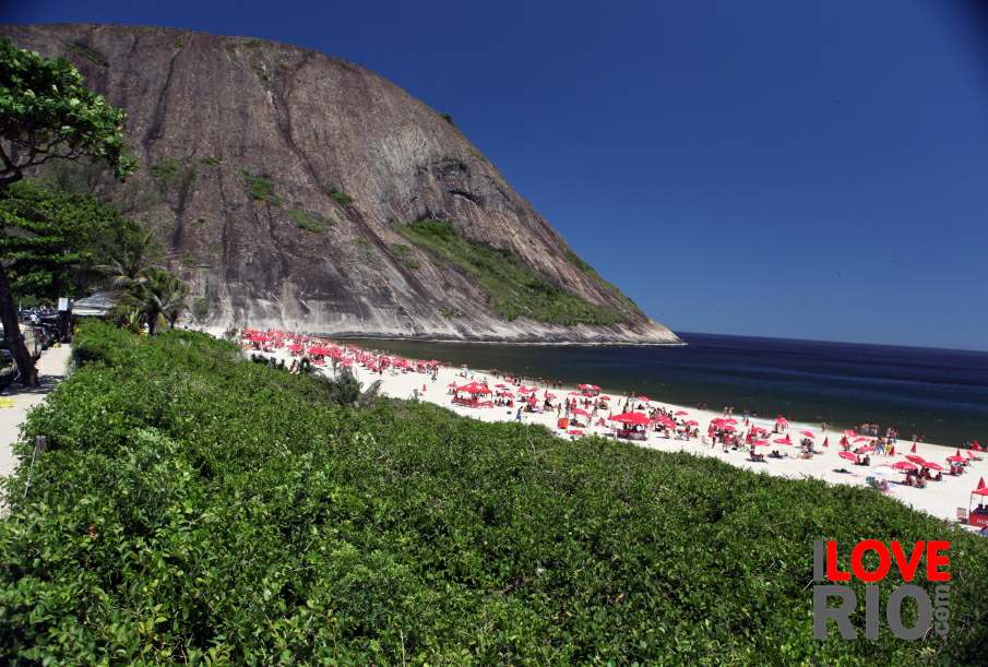
Clear sky reflecting in a very calm sea Picture of I LOVE RIO logo Cagaras island formation behind a breaking wave Secluded tropical beach colorful horizon Leblon Sunset  
at a glance

rio de janeiro has 161 official neighborhoods and about 30 unofficial neighborhoods, divided into 7 sub-prefectures, 34 administrative areas, and 5 planning areas - in this section, we grouped rio de janeiro beaches roughly according to the 5 planning areas as shown by rio de janeiro's prefecture on the map on this page.

in our work, the beaches in the south zone correspond to the pink area on the map (ap2), the beaches in the west zone correspond to the purple area on the map (ap5), the beaches in the south-west zone correspond to the green area on the map (ap4), the beaches in the north zone and governador island correspond to the light pink area on the map (ap3), and the beaches in paquetá island correspond to the blue areas on the map (ap1). arrow-back      arrow-forward

beach attire
attractions baths & lockers
beaches lifeguards
sports kiosks
entertainment vendors & food
music after dark
nightlife adventure
restaurants celebrity
shopping sports
etiquette family
carnival north zone west zone governador island niterói social
réveillon south zone south-west zone paquetá island islands panoramic
accommodations Red umbrellas on the beach Families contemplating the ocean Tree by the sea picturesque
transport niterói
safety islands
extras main beaches
      - home - about - © - terms of use - photos - privacy policy - contact - join -