
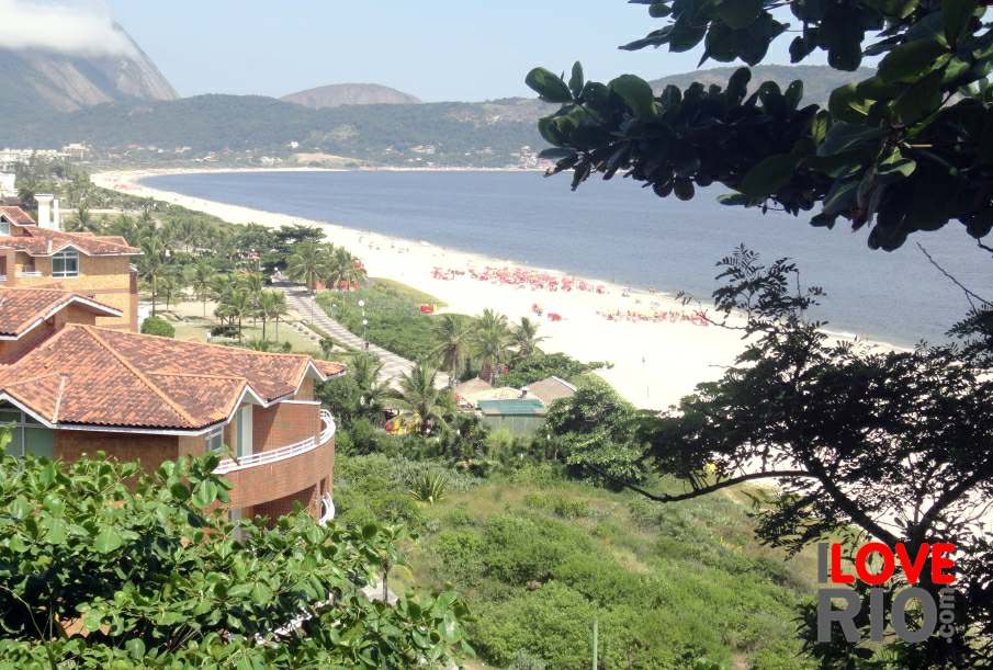
at a glance
in the 1950's the waters of the bay were still significantly cleaner, and local tourism on the island thrived, especially from the northern zone of rio de janeiro - the island was rich of flamboyants, gorgeous trees with red flowers that gave a characteristic look to the area. in 1952, the construction of the international airport led to the disappearance of other beaches, the closing of some neighborhoods, the appearance of favelas, and the re-routing of traffic within the island - this had a negative effect on the local tourism and commerce. the growth of local communities, and unplanned urban development, generated pollution in the waters surrounding the island. starting in the 1970's, also due to waste from the greater rio de janeiro being discharged in the bay, the level of pollution in the area increased - making many of the beaches on the island unsuitable for swimming.