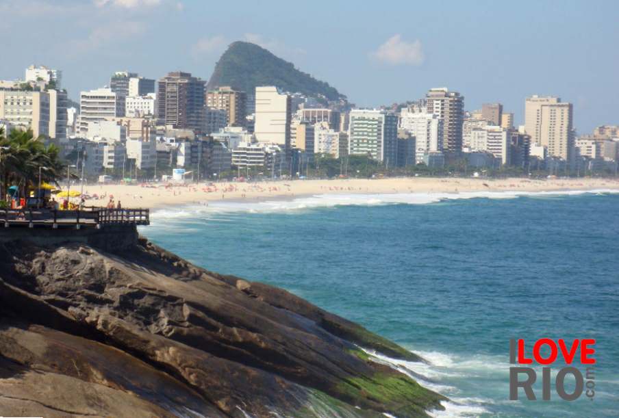

at a glance
During the first half of the 20th century the region expanded enormously, with increasing numbers of residents and the establishment of several industries. The arrival of the railway brought with it a greater level of enterprise which had a decisive role in the expansion and increased occupation of the district. the area known as Rio da Prata, was named after an important river, which once marked the border of the mostly residential Campo Grande region. The north of this sub-neighborhood is delimited by Rua João de Lacarda, where the Mal Julio Cateano Horta Barbosa school and the Escola Municipal Presidente Médici, are located. The limits are more difficult to establish to the west, but the border can be thought of as Rua Cairo, as well as the limits of the wider Bangu district. Rio da Prata is bordered to the South by the space between the Quarenta e Oito, or 'Forty-eight' favela and the Sandá sub-neighborhood. The eastern limit is marked by the Pedra Bico, quarry and Praça Miguel Pedro.

zona oeste


