
to improve usability, I Love Rio uses cookies
by continuing to browse it you agree
to our privacy policy and our terms of use.

continue              exit

Rio de Janeiro's neighborhoods I Love Rio logo Rio de Janeiro's neighborhoods Rio de Janeiro's neighborhoods Rio de Janeiro's neighborhoods Rio de Janeiro's neighborhoods  

at a glance

reaching praia do diabo via public transportation is very easy, as the majority of buses going along copacabana and ipanema stop at praça general osório (general osório square), also a main subway stop only a short walk from the beach.

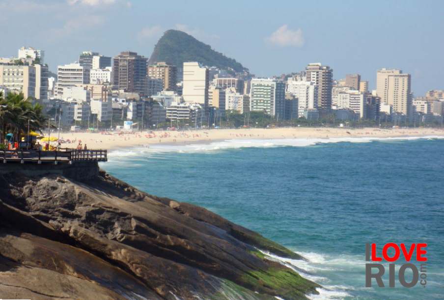
on this link an early morning shot of diabo's beach is posted daily, showing water conditions - the website waves includes charts showing tides, winds, temperatures and overall climate forecasts.

next to praia do diabo, praia do arpoador, or arpoador's beach, is a small extension of ipanema beach - this stretch of sand is located in a car-free zone between the pedra do arpoador and the point where francisco otaviano street turns towards copacabana.   arrow-back      arrow-forward
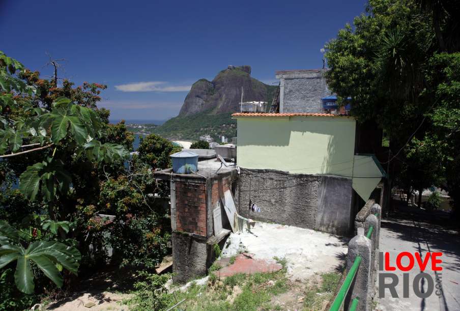
arpoador
attractions botafogo
beaches catete
sports copacabana
entertainment cosme velho
music flamengo
nightlife gávea
restaurants glória
shopping humaitá
etiquette ipanema
carnival jardim botânico
réveillon rock of arpoador military fort sister beaches fishermen lagoa
accommodations Rio de Janeiro's neighborhoods Rio de Janeiro's neighborhoods Rio de Janeiro's neighborhoods zona norte laranjeiras
transport zona oeste favelas
safety zona central rio maps
extras

zona sul

more
      - home - about - © - terms of use - photos - privacy policy - contact - join - eu amo rio - products -