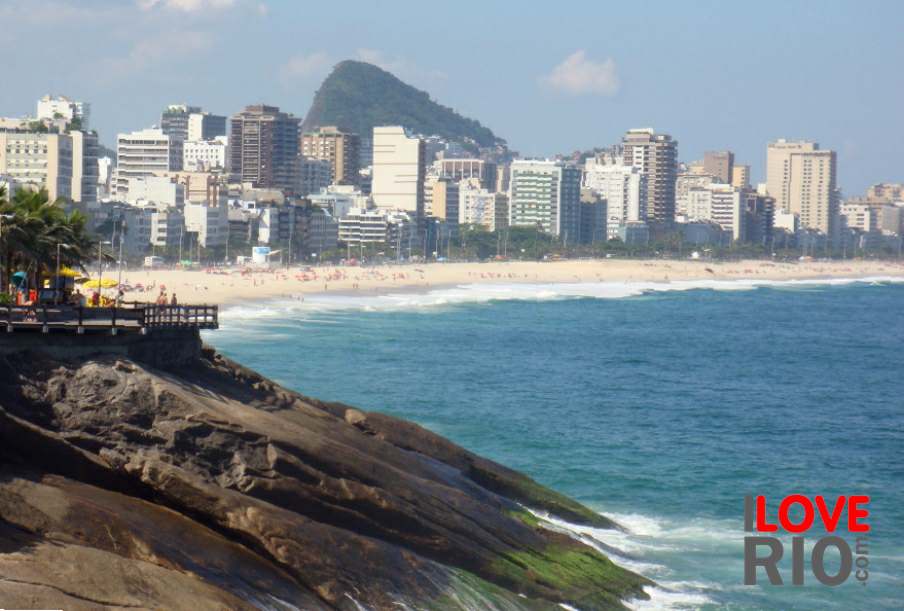
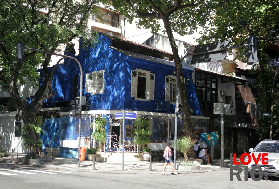
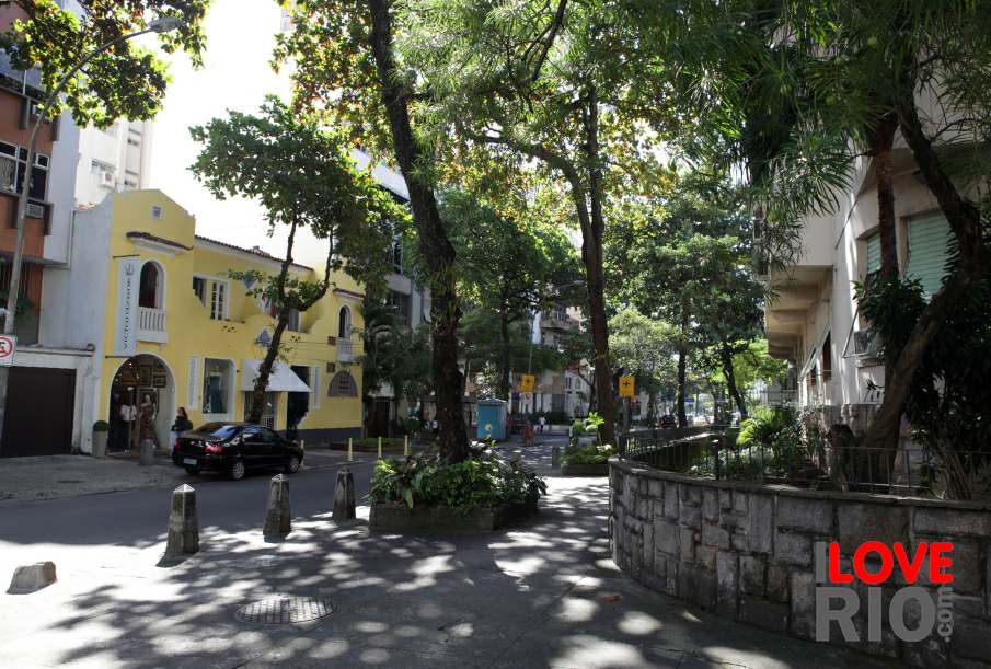
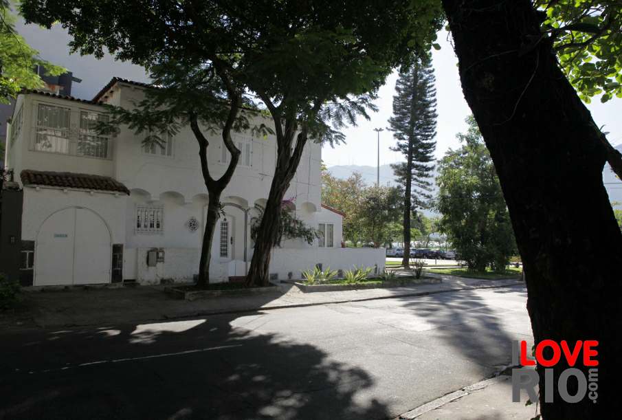
![]() |
![]() |
![]() |
![]() |
![]() |
![]() |
at a glance |
on this link by wikimapia it is possible to see a satellite view of the district of leblon. rio de janeiro's prefecture, through the instituto pereira passos, makes data and statistics about leblon available on this link, including data on land (território e meio ambiente), population (população) housing (domicílios), health (saúde), education (educação), buildings (imóveis), and infrastructure (infraestrutura). Presented by the Prefecture do Rio de Janeiro, the study Fachada do antigo Hotel Leblon,(The facade of the former Hotel Leblon) contains a wealth of information on the history and development of the entire leblon district, and its main architectural landmarks. | largo do machado | |||
attractions | leblon | ||||
beaches | leme | ||||
sports | peixoto | ||||
entertainment | rocinha | ||||
music | são conrado | ||||
nightlife | urca | ||||
restaurants | vidigal | ||||
shopping | attractions | ||||
etiquette | parks | ||||
carnival | beaches | ||||
réveillon | leblon beach | morro dois irmãos | mirante | restaurants | accommodations |
accommodations | ![]() |
![]() |
![]() |
zona norte | transport |
transport | zona oeste | favelas | |||
safety | zona central | rio maps | |||
extras |
zona sul |
back | |||
![]() |
|||||
![]() ![]() |
- home - about - © - terms of use - photos - privacy policy - contact - join - eu amo rio - products - |
![]() ![]() |