

to improve usability, I Love Rio uses cookies
by continuing to browse it you agree
to our privacy policy and our terms of use.

continue              exit

Rio de Janeiro's transportation pictures I Love Rio logo Rio de Janeiro's transportation pictures Rio de Janeiro's transportation pictures Rio de Janeiro's transportation pictures Helicopter flying over the sea.  
at a glance
as a highly health conscious city, and an increasingly 'green' city, bicycle use is encouraged in rio de janeiro, to try and keep traffic and pollution down to minimal levels - however, cycling in rio can be slightly confusing, especially for visitors to the city, as there is a maze of cycle lanes, and bike shops that are sometimes difficult to locate, which is where the smart phone app, rio de bicicleta, comes in.

designed to gather all the useful information necessary for cyclists to successfully navigate themselves across rio, the app lists the locations of cycle lanes, bike racks, rental points, and bike shops, across the city.

all locations are supported by interactive and updated maps, that cover all areas of the city, including parts of neighboring niterói. - more information on this page, or via i-tunes here.  arrow-back     arrow-forward
airplanes
attractions bicycles
beaches boats
sports buses
entertainment helicopters
music car services
nightlife minivans
restaurants moto taxis
shopping private planes
etiquette quadracycles
carnival rental cars
réveillon

bike rentals

bicycle paths

maps

safety and tips

subway
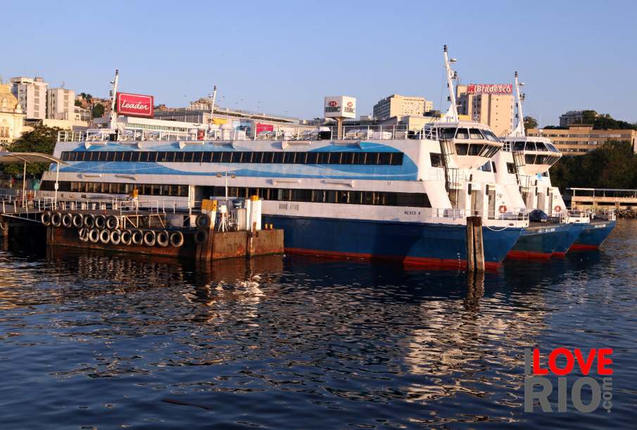
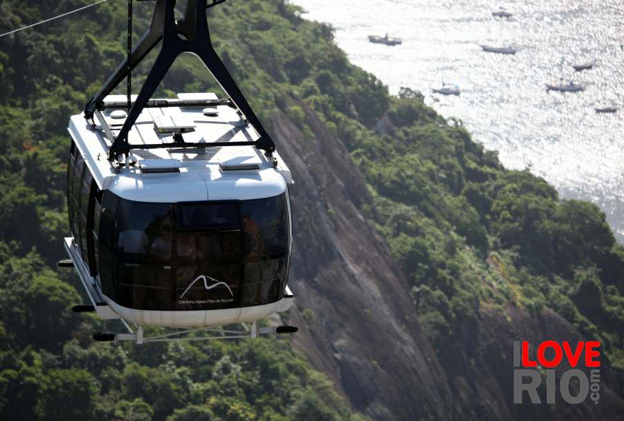
accommodations A boat and the Morro da Urca in the background. View of the island next to the Charitas Station. Ferries at the Araribóia Station, Niterói. taxis
transport trains
safety trams
extras yachts
      - home - about - © - terms of use - photos - privacy policy - contact - join - eu amo rio - products -