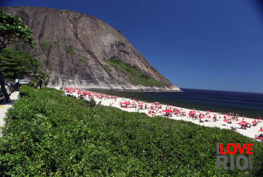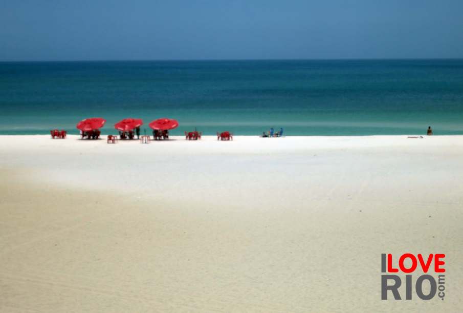

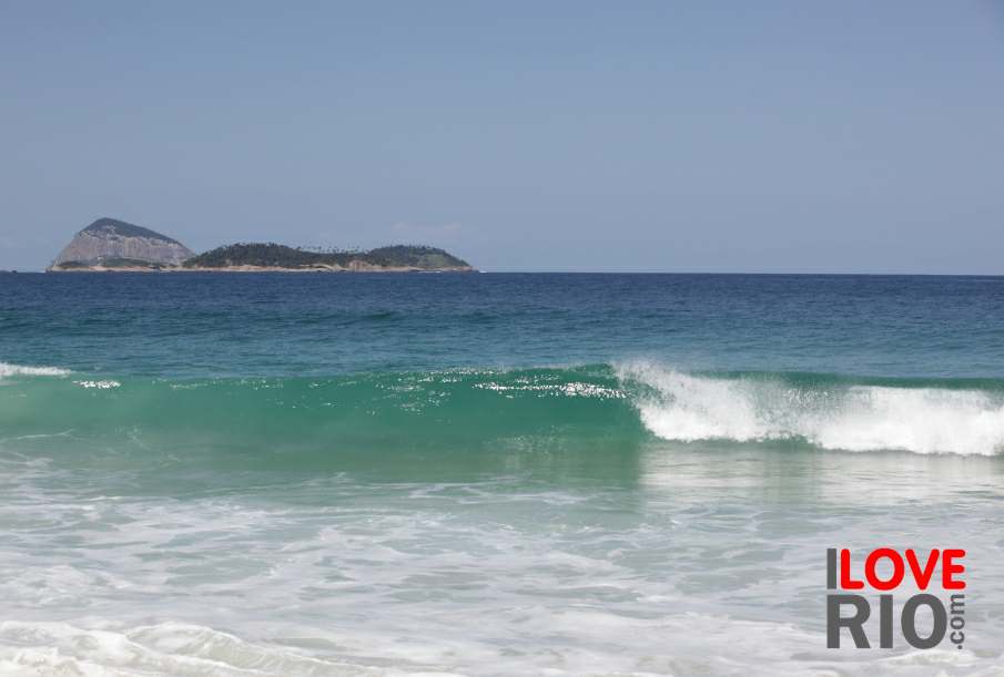
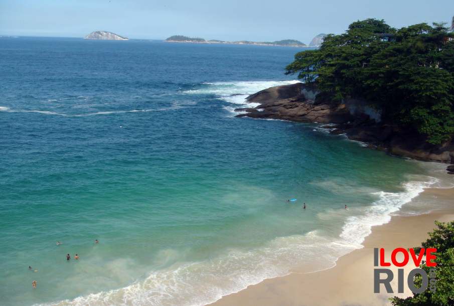
for those interested in learning more about charitas beach, we have a page with additional information and instructions on how to get here via public transport here. praia de charitas can be seen via this satellite view, zoom settings open correctly when using chrome. praia de charitas is only the stretch between praça do radio amador and the ferry terminal, as then it becomes praia do preventório. we posted more information about praia de charitas, how to get there, some accommodations options, and a description of the surrounding area on this page in the main beaches section - and on this page we posted information for all of niterói's beaches.