to improve usability, I Love Rio uses cookies
by continuing to browse it you agree
to our privacy policy and our terms of use.

continue              exit

Rio de Janeiro's neighborhoods I Love Rio logo Rio de Janeiro's neighborhoods Rio de Janeiro's neighborhoods Rio de Janeiro's neighborhoods Rio de Janeiro's neighborhoods  

at a glance

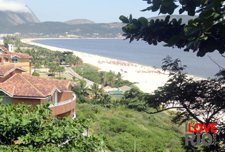
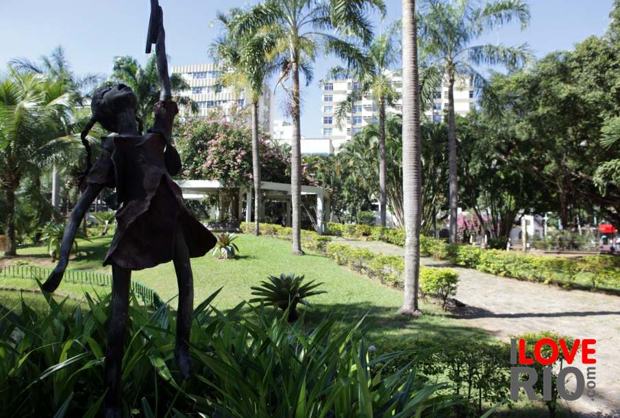
on this link by wikimapia it is possible to see a  satellite view of the district of cacuia - we publish more information about cacuia   on this page.

The word 'cocotá ' is an adaptation of an indigenous word meaning fields, referring to the crops that were first cultivated in the region. In the second half of the 20th Century the area was known as praia de olaria, or 'Pottery Beach', because of its prolific ceramic production.

cocotá is on the eastern coast of the island - It has a several buildings of historical significance, such as the old tram station of Santa Cruz, the Regional Library, the Paróquia de São Sebastião, (San Sebastian parish), and the Parque Poeta Manuel Bandeira (Poet Manual Bandeira Park) home to a vareity of celebrations and cultural events throughout the year.   arrow-back      arrow-forward
arpoador
attractions ipanema
beaches leblon
sports gávea
entertainment jardim botânico
music vidigal
nightlife rocinha
restaurants são conrado
shopping barra da tijuca
etiquette recreio
carnival paquetá
réveillon history beaches parks airport ilha do governador
accommodations Rio de Janeiro's neighborhoods Rio de Janeiro's neighborhoods zona norte niterói
transport zona oeste favelas
safety zona central rio maps
extras zona sul back
      - home - about - © - terms of use - photos - privacy policy - contact - join - eu amo rio - products -