to improve usability, I Love Rio uses cookies
by continuing to browse it you agree
to our privacy policy and our terms of use.

continue              exit

Rio de Janeiro's neighborhoods I Love Rio logo Rio de Janeiro's neighborhoods Rio de Janeiro's neighborhoods Rio de Janeiro's neighborhoods Rio de Janeiro's neighborhoods  

at a glance

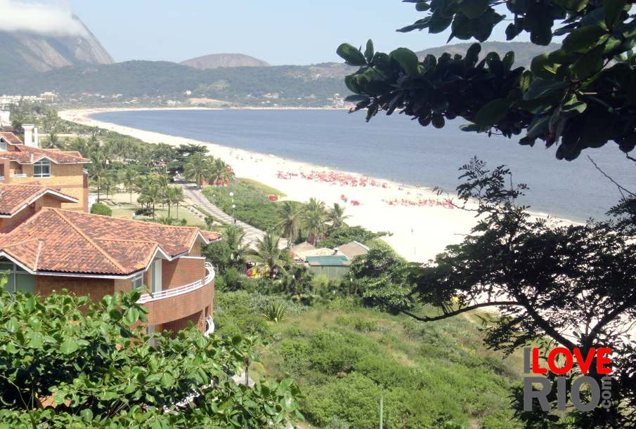
cacuia, meaning 'drinking vessel of the hill' in the indigenous language, is situated in the southeast of the island - It is well known for its extensive shopping centre and animated and successful samba school, União do Ilha do Governador, founded in 1953.

The great landmark of the neighborhood is the Relógio do Cacuia (Cacuia Clock), located in the only cemetery on the island, opened in 1904 - The municipal hospital, Hospital Municipal Paulino Werneck, is also situated in the region.

The APARU do Jequiá Reserve, an area of urban environmental protection, is situated in the South, lining the guanabara bay, constituted of mangroves and home to the Z-10 fishing colony.

Next to the Morro do Matoso (Matoso Hill), on the waterfront, are the beaches of praia do golfinho (dolfin beach), praia brava, and praia do alentejo, located in the Navy Military Area.  arrow-back      arrow-forward
arpoador
attractions ipanema
beaches leblon
sports gávea
entertainment jardim botânico
music vidigal
nightlife rocinha
restaurants são conrado
shopping barra da tijuca
etiquette recreio
carnival paquetá
réveillon history beaches parks airport ilha do governador
accommodations Rio de Janeiro's neighborhoods Rio de Janeiro's neighborhoods zona norte niterói
transport zona oeste favelas
safety zona central rio maps
extras zona sul back
      - home - about - © - terms of use - photos - privacy policy - contact - join - eu amo rio - products -