to improve usability, I Love Rio uses cookies
by continuing to browse it you agree
to our privacy policy and our terms of use.

continue              exit

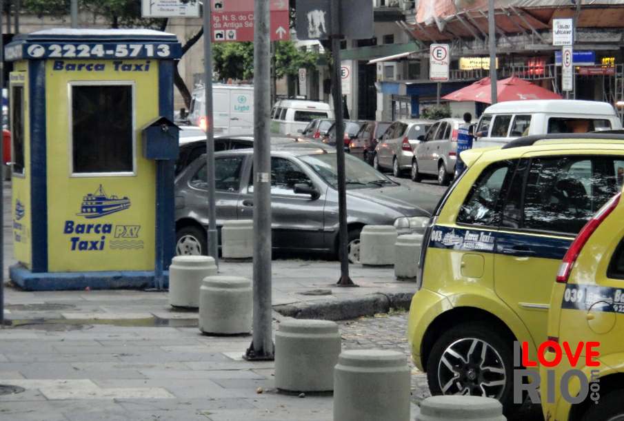
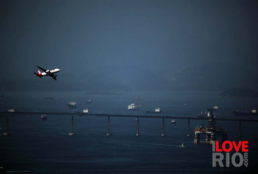
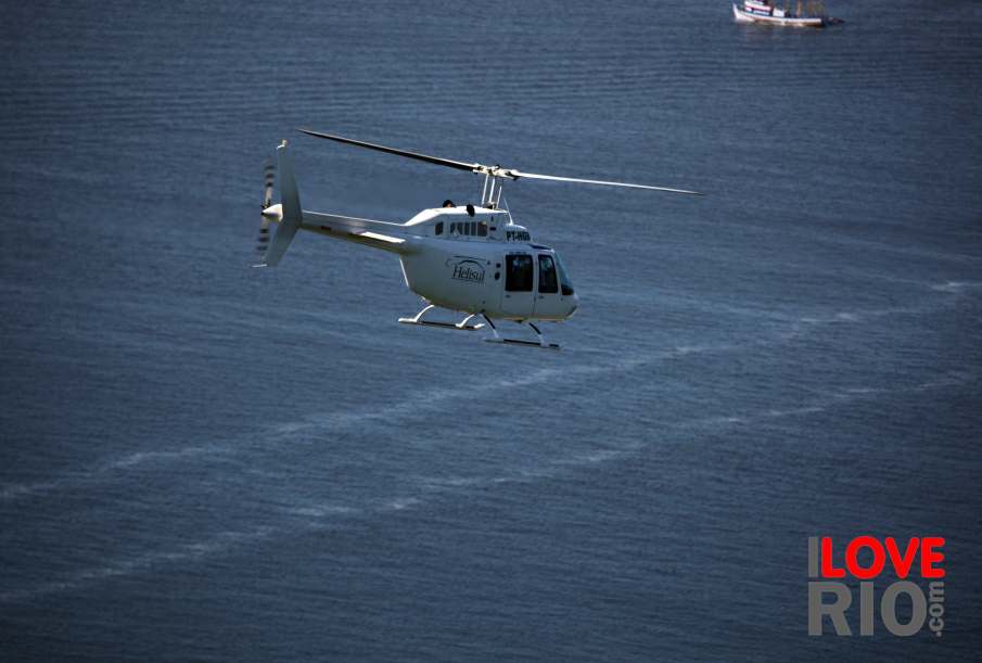
Rio de Janeiro's transportation pictures I Love Rio logo Rio de Janeiro's transportation pictures Rio de Janeiro's transportation pictures Rio de Janeiro's transportation pictures Helicopter flying over the sea.  
at a glance
paths can run through several districts and zones of the city, varying from cycle trails to on-the-road lanes, offering picturesque settings filled with nature or the urban beauty of the city. one can travel by bike from the central area of rio, through flamengo park (aterro do flamengo), past the beaches of the southern zone, including botafogo, flamengo, leme, copacabana, ipanema and leblon, across avenida niemeyer reaching the western zone neighborhoods of săo conrado and even barra da tijuca. the bike lanes, for the most part, are parallel to the coastline granting the cyclist the fresh breeze of the sea or a relaxing ride with an oceanic background - the paths are generally wide and labeled to facilitate traffic. arrow-back      arrow-forward
airplanes
attractions bicycles
beaches boats
sports buses
entertainment helicopters
music car services
nightlife minivans
restaurants moto taxis
shopping private planes
etiquette quadracycles
carnival rental cars
réveillon

bike rentals

bicycle paths

map & apps

safety and tips

subway
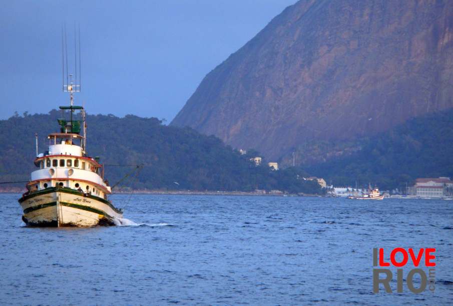
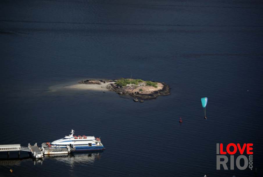
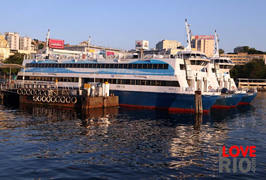
accommodations A boat and the Morro da Urca in the background. View of the island next to the Charitas Station. Ferries at the Araribóia Station, Niterói. taxis
transport trains
safety trams
extras yachts
      - home - about - © - terms of use - photos - privacy policy - contact - join - eu amo rio - products -