

at a glance
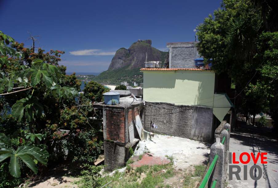
Presented by the Universidade Federal do Rio de Janeiro, the study A cidade do Rio de Janeiro e as chuvas de março/93 - the city of rio de janeiro and the rains of march 1993 - by Marcus Felipe Emerick Soares Cambra e Ana Luiza Coelho Netto analyzes the historic events. The mountains of Rio de Janeiro act as water divergent, converging to the valley-flats. In the last decades, urban expansion has advanced upward, mainly on the north slope of the Tijuca Massif, where numerous 'favelas' are located. Changes to the slopes generate major runoff routes, so that mud and garbage flows into the drained valley, naturally or artificially (channels and pluvial tubulations). The Joana, maracanã and Comprido basins were studied in detail, the results show that the mud- and garbage-flows concentrate on the slopes flooding the valley-axis. These events are aggravaled by the cumulated rainstorms, due to inadequate drainage systems.


zona norte


