to improve usability, I Love Rio uses cookies
by continuing to browse it you agree
to our privacy policy and our terms of use.

continue              exit

Pictures of Rio de Janeiro's favelas Picture of I LOVE RIO logo Pictures of Rio de Janeiro's favelas Pictures of Rio de Janeiro's favelas Pictures of Rio de Janeiro's favelas Pictures of Rio de Janeiro's favelas


at a glance

in 1960 brasilia became the capital of brasil, causing rio de janeiro to lose much of the federal funding that came with being the capital of the nation - this was the beginning of a long period of scant resources and limited ability to implement social plans, restructuring, and urbanization.

In the 1960s Carlos Lacerda, the first elected governor of the now extinct state of Guanabara, later incorporated in the state of rio de janeiro, began an movement in which uninhabited areas on urban maps were replaced with areas of high-end real estate developments.

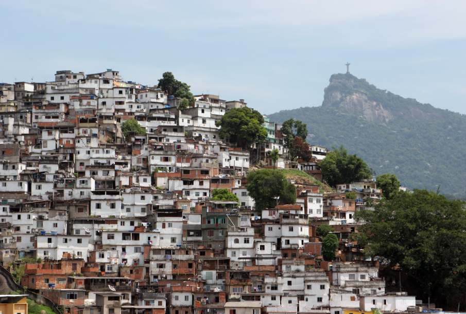
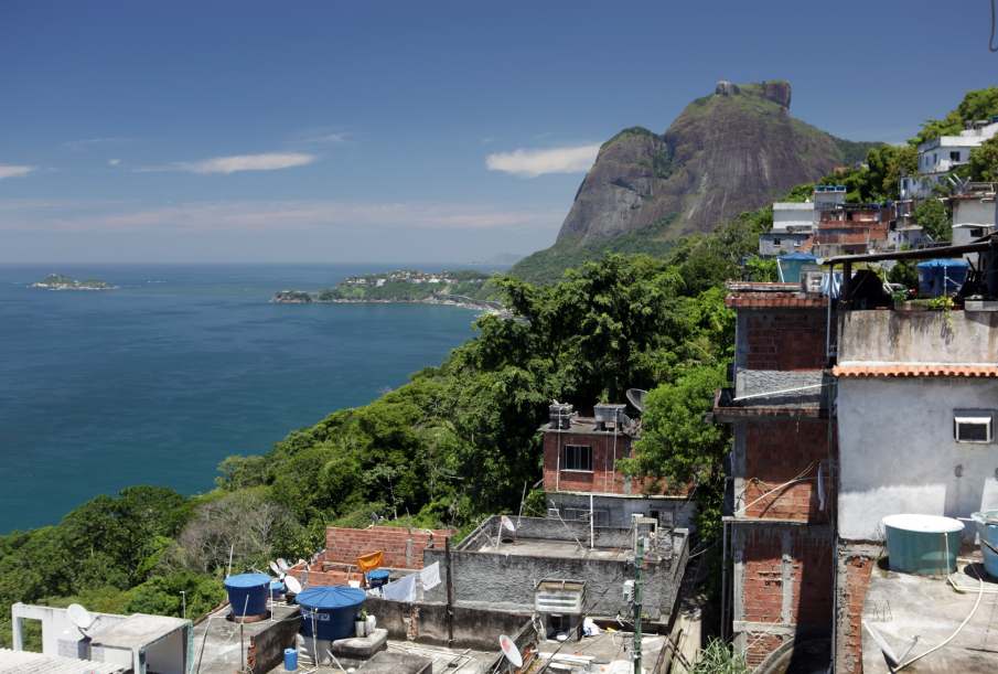
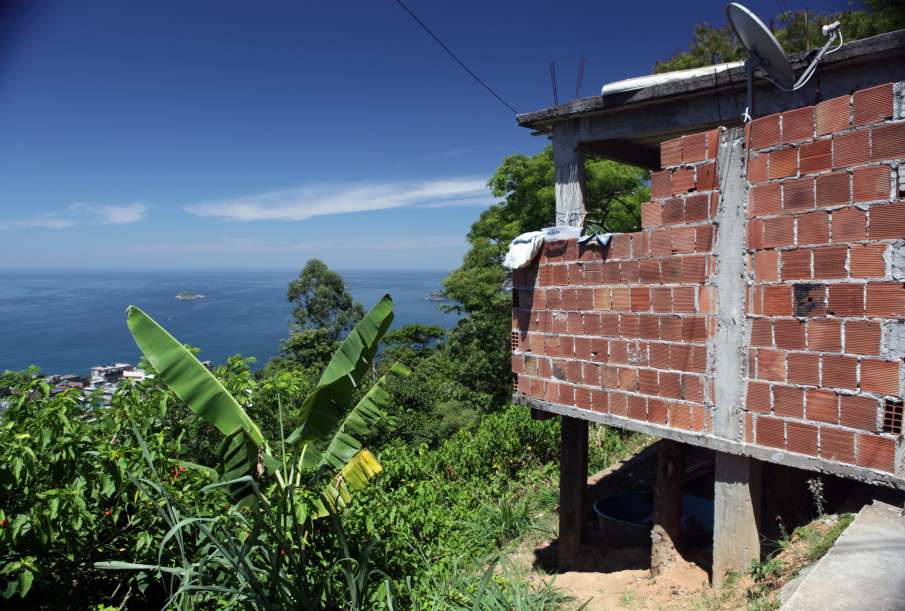
following this plan,  the residents of favelas occupying valuable land were transferred to less valuable, peripheral regions of the city, while those who resided under bridges, on riverbanks, in wetlands and on the hills were mostly ignored.   arrow-back      arrow-forward

introduction
attractions history & culture
beaches urbanization
sports programs
entertainment groups & events
music news & blogs
nightlife photographs
restaurants documentaries
shopping movies
etiquette books
carnival studies & statistics
réveillon history culture museums cultural map law enforcement
accommodations 1800 - 1870 1920 - 1930 Pictures of Rio de Janeiro's favelas 1960 - 1970 tours & volunteer
transport 1870 - 1900 1930 - 1940 1970 - 1980 neighborhoods
safety 1900 - 1910 1940 - 1950 1980 - 1990 safety & tips
extras 1910 - 1920 1950 - 1960 1990 - present main favelas
      - home - about - © - terms of use - photos - privacy policy - contact - join - eu amo rio - products -