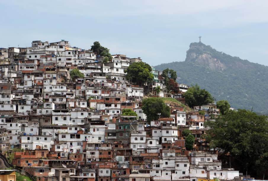

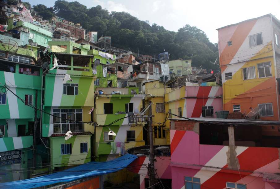
pictures of carnival in santa marta by vivafavela can be seen here - an aerial view of santa marta (morro dona marta) can be seen on this wikimapia, also clearly mapping the surrounding areas, botafogo, and the nearby communities. if a 'far away' map opens, do not scroll, just zoom in using the '+' and '-' signs on the top-left
despite the safety and popularity of santa marta, it is strongly recommended to enter any favela with an approriate guide, particularly when visiting for the first time.


