to improve usability, I Love Rio uses cookies
by continuing to browse it you agree
to our privacy policy and our terms of use.

continue              exit

Rio de Janeiro's neighborhoods I Love Rio logo Rio de Janeiro's neighborhoods Rio de Janeiro's neighborhoods Rio de Janeiro's neighborhoods Rio de Janeiro's neighborhoods  

at a glance

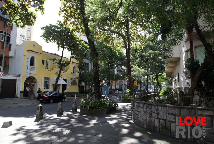
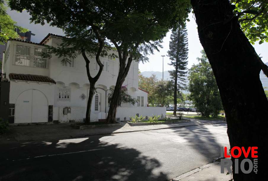
Curicica is located in the West Zone (Zona Oeste) of Rio. The bairro (neighborhood) is bordered by jacarepaguá to the south, Cidade de Deus, or ' city of god', to the east, and taquara to the north.

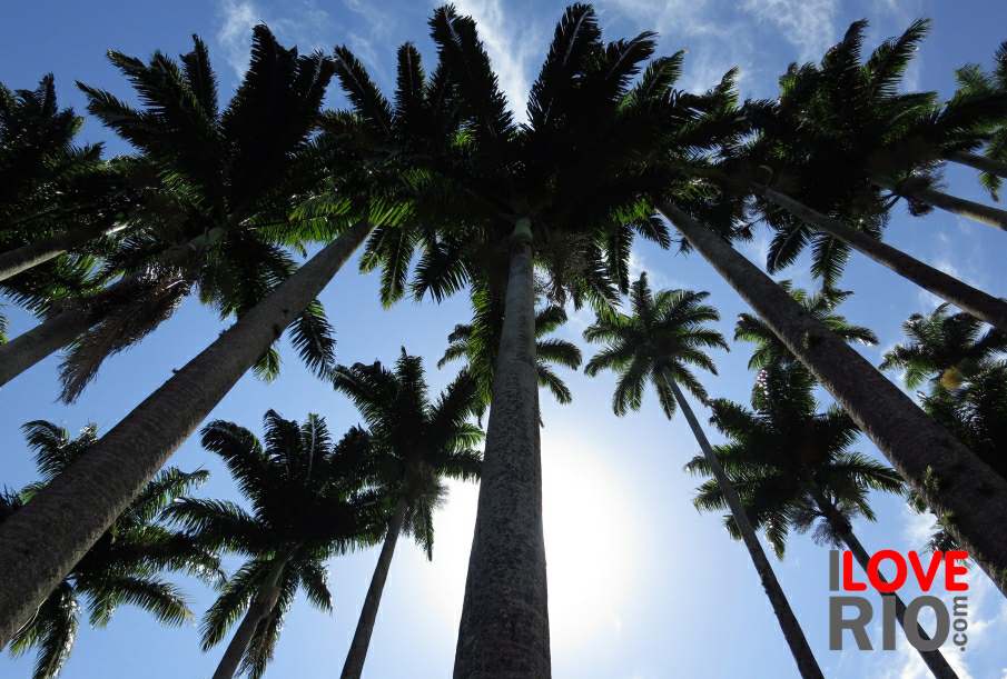
The name of the district derives from the Tupi language, spoken by the indigenous peoples who resided in the area prior to Portuguese colonization. The word 'ya-cury-ycica', signified 'baba tree', a species of palm. The Portuguese adapted and contracted the term to denominate the district.

Curicica was located close to the old Estrada de Jacarepaguá, or 'Jacarepaguá Street', which lead from the area's marshland all the way to Morro dois Irmăos, or 'Two Brothers Hill'.  The region was delimited by the Estrada de Guaratiba, or 'Guaratiba road', which is today called Estrada dos Bandeirantes, or 'Bandeirantes road'. arrow-back      arrow-forward

anil
attractions bangu
beaches barra da tijuca
sports b. de guaratiba
entertainment camorim
music c. dos afonsos
nightlife campo grande
restaurants city of god
shopping colônia
etiquette cosmos
carnival curicica
réveillon curral falso
accommodations Rio de Janeiro's neighborhoods Rio de Janeiro's neighborhoods Rio de Janeiro's neighborhoods zona norte deodoro
transport

zona oeste

favelas
safety zona central rio map
extras zona sul back   more
      - home - about - © - terms of use - photos - privacy policy - contact - join - eu amo rio - products -