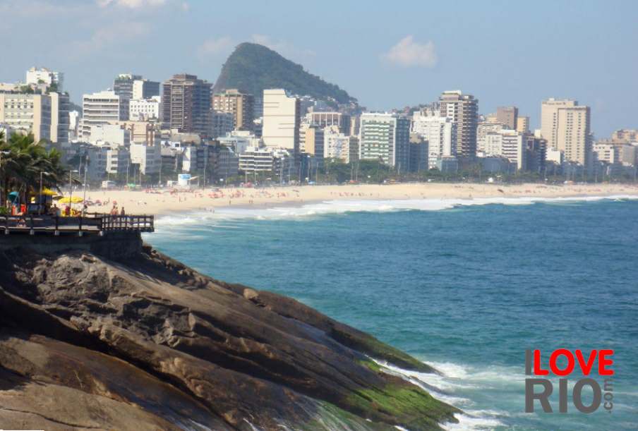

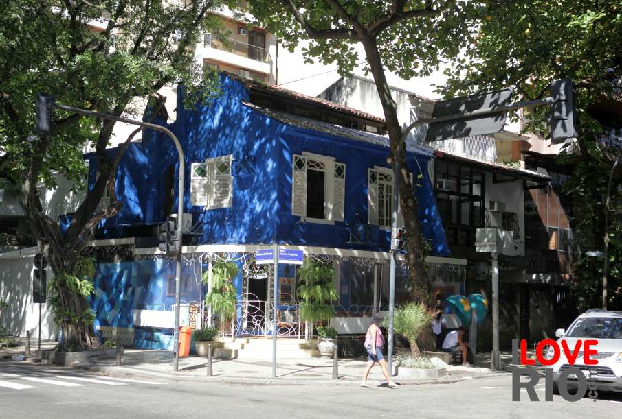
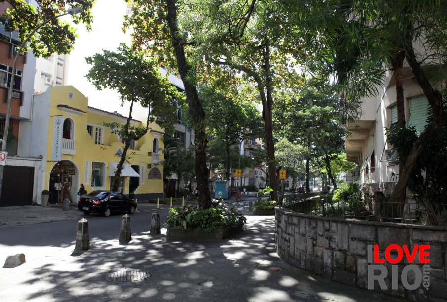
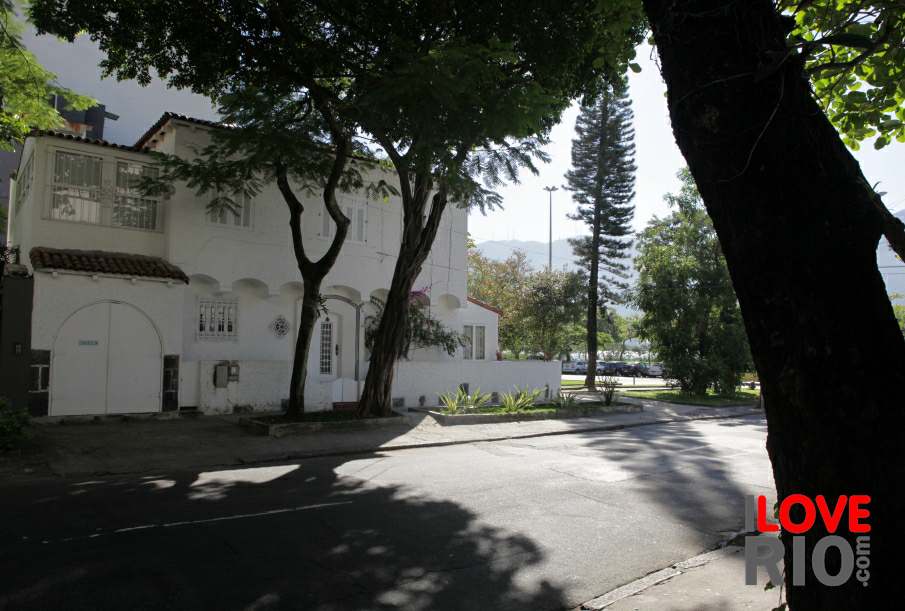

at a glance
the neighborhood of piedade is located in the north zone - zona norte of metropolitan rio de janeiro. Nowadays the neighborhood is predominantly residential and it is surrounded by the neighborhoods of cavalcanti, tomás coelho and pilares to the north, abolição, and encantado to the east, água santa to the south, and quintino bocaiúva to the west.
The main access lanes are Avenida Dom Hélder Câmara, or 'Dom Hélder Câmara Avenue' to the north, and the railroad to the south.
The region was tentatively settled in the middle of the 18th century, around the area where the Igreja de Nossa Senhora da Piedade, or 'Church of Our Lady of mercy'. settlement was affected by the opening of the Estrada Real de Santa Cruz, or 'Santa Cruz Royal Road', which addressed the access issues faced by the citizens of Rio de Janeiro at the time. Further development took place in the second half of the 19th century with the establishment of the Estrada de Ferro Dom Pedro II, or 'Dom Pedro II Railroad'.

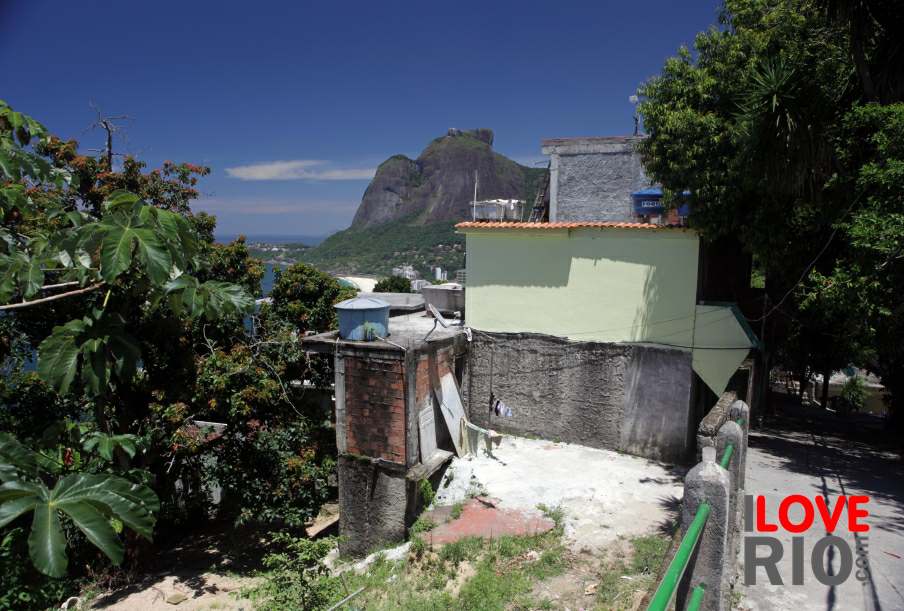


zona norte


