


at a glance
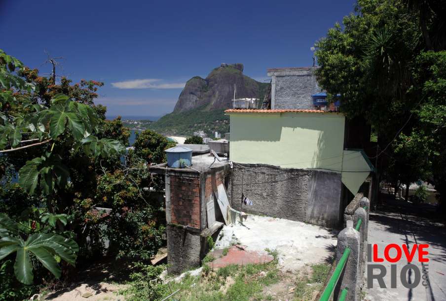
Presented by the Governo do Estado do Rio de Janeiro, the study História dos bairros de Jacarepaguá e Itanhangá - The history of the neighborhoods of Jacarepaguá and Itanhangá, by Ruth Jurberg, Marcela Moreira e Frank Moehr, addresses the characterization of the Rio das Pedras territory, defined as a poor community, situated on the Estrada de Jacarepaguá (Jacarepaguá Highway), between the neighborhoods of Itanhangá and Jacarepaguá, in the West Zone of Rio de Janeiro, presenting and consolidating important information about its history, location and surroundings, as well as its urban and socio-economic characteristics. The principal objective of this study is to support the acquisition of funds for new investments in the Rio das Pedras community, in order to implement its socio-economic and spatial development. This proposal is part of a broader socio-urban study of the region, made with the participation of residents and leaders seeking the same outcome, called PAC 2.



zona oeste


